 |
Go up top page of this area (Dohhoku) Change to Japanese |
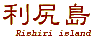
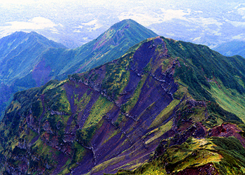
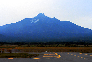
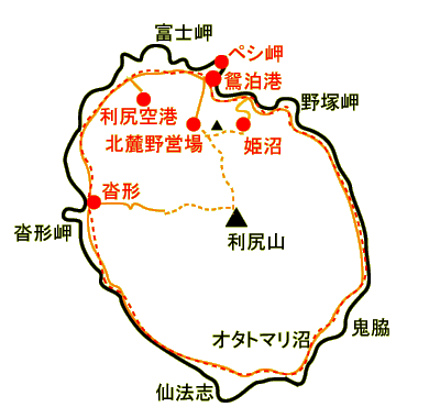
| Rishiri island located west from the center of Wakkanai which is the most north city all
over the Japan.The island has circular coast line and characterized by Mt.Rishiriyama, mountain centered on the island.
The origin of the name of Rishiri derived from the native's word which just indicates higher mountain.
The island of mountain will be seen from the west shore of Wakkanai.Standing there, You must see a mountain floats on the sea.
The mountain has another name which is Rishiri Fuji. It may be easy to understand why this mountain was named.
The scenic conic shape like as the highest mountain of Japan was very attractive for visiting this island.
Expecting 360 degree of the view from the summit,I travelled this island.
|
|
| Mt Rishiridake | ||||||||||
 |
 |
|||||||||
 |
 |
|||||||||
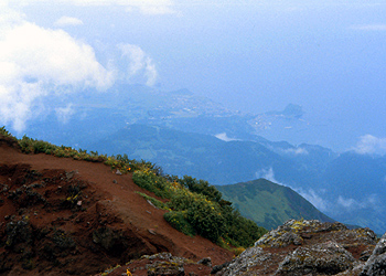
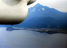
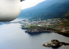
| From airplane |
||||||||||
|
||||||||||
|
||||||||||
|
||||||||||

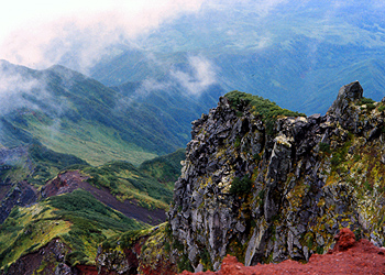
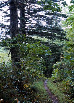
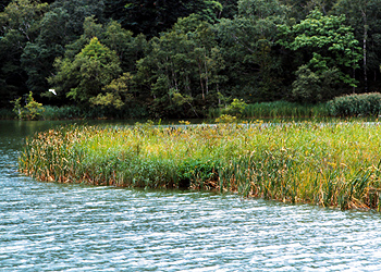
| Walking to Himenuma marsh | |||||
| |||||
 |
 |
||||
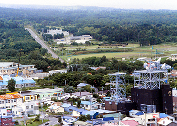
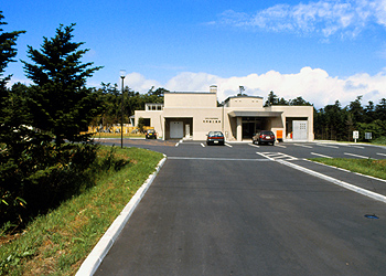
| Town Osidomari is located north of the island. Many public facilties centralized here. | Rishirifuji onsen (hot spring) | ||||
 |
 |
||||
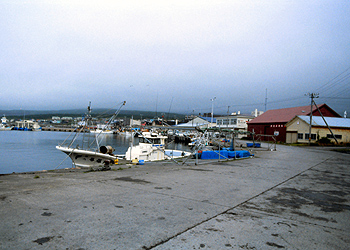
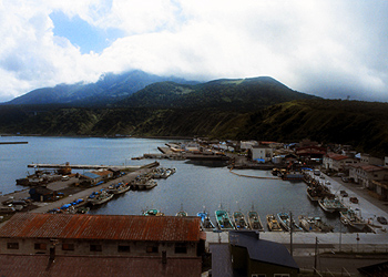
| Kutukata is town located west side of island.This town developes from fishermans port.In the summer,Ferries for Rebun departes from this port. | Main ferry port is Oshidomari. | ||||
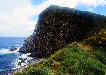 |
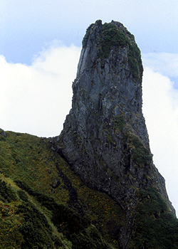
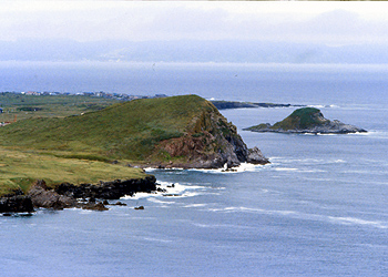
Cape Peshi which has a small mound is located near osidomari port.A trails go up to the peak. | ||||
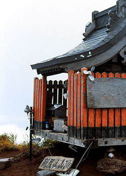
| Cape Peshi | |||||
|
|||||
| Information | ||||||||||||||
|
|
|||||||||||||
 |
 |
 |