
|
|||
|
|
|||
| Day fisrt From Higashidaisetu inn | |||
 |
 |
||
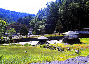
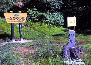
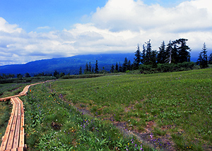
| The Trail for Tomuraushiyama starts at Higashidaisetuso(East Daisetu inn) . | The signage indicated the trail head. | ||
 |
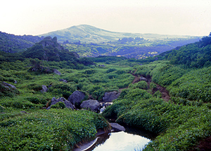
The trail goes up with a stream.Slant increased with my progression. | ||
 |
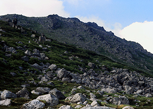
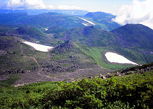
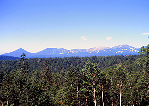
A group of peaks which look down from the peak of near Maetomu platau is called Mt.Maetomuraushiyama. |
||
 |
 |
||
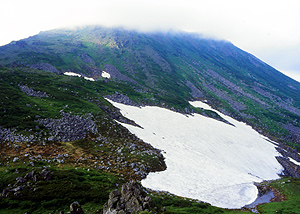
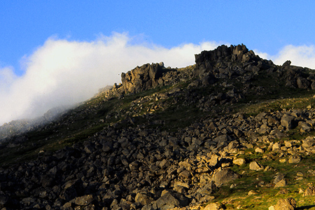
| After going up the peak,suddenly view of Mt.Tomurausi is happened in front of me. | The slope goes down east direction still remains snow. | ||
 |
 | ||
 |
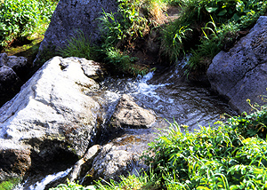
Going down from the peak. Small beautiful stream crosses. Cold water is provided from melting snow. | ||
| Day second From the summit to Tennin gorge. | |||
 |
View from the summit of Tomuraushi yama.Elevation of this point is 2141 meter sealevel.To the summit,about 30 minutes climb will be needed after starting at the campsite.. | ||
 |
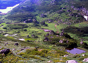
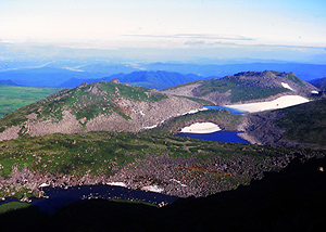
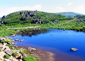
A pond with blue water closes.This pond names Kitanuma which means north marsh. | ||
 |
 |
||
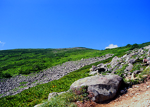
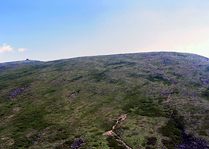
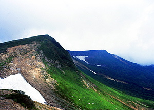
| In a minute after passing through the Kitanuma,trail got into rocky pleatau.Turning your head backward,the Tomuraushi peak will be seen. | At the end of the plateau,the trail going down rocky valley. | ||
 |
 |
||
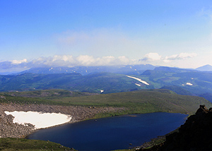
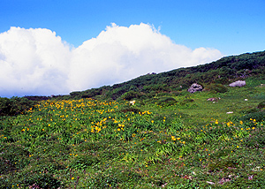
| Flowers along the trail colores yellow. | Trail goes via small pond Tennuma. | ||
 |
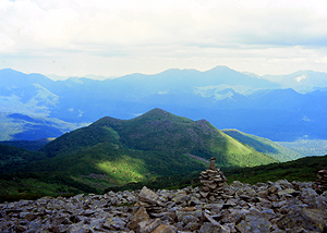
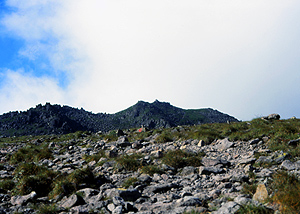
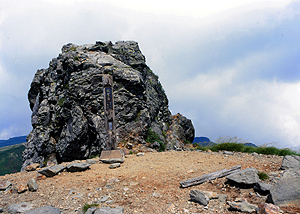
After branch of Hisagonuma,Entire view of Mt.Kaun is a head.To Opppsit Mt.Tomurausi,This mountain is smoothly streched. And there is a rock on the top of hill like structure.This rock indicates the summit of the mountain. | ||
 |
I 've seen all at here where trail goes up to the summit. | ||
 |
 | ||
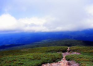
| At Kauniwa rock,Trail branches into two.The leftward trail is for tenninkyo gorge. | A large deeper valley is Tyubetugawa.Trail goes a head just beside the cliff. | ||
 |
 |
||
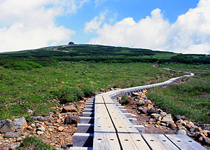
| Down stream to Tennin gorge. | Daiichi koen(1st park).Wood trail begins | ||
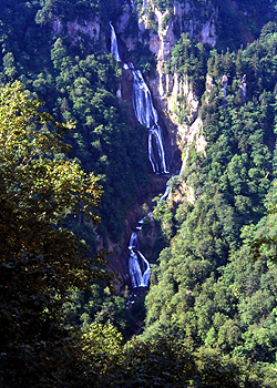
| View of Hagoromo waterfall which has 300m height is seen near the trail end. Please visit another page ! |
 . . |
||
| Mountainering | |||||||||
 |
 |
||||||||
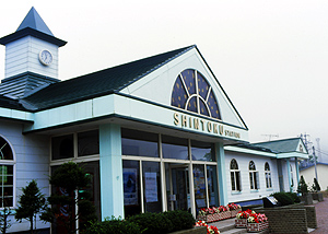
| Shintoku station | Hakuundai | ||||||||
| <Transportations> | |||||||||
|
Buses connect Tomuraushi onsen from the Shintoku station.
First bus starts at 7:20 adjacent to the JR station.Only summer season schudled operation will been done.
Hokkaido takusyoku bus From Tenninkyo gorge,buses for Asahikawa station are abilable(11:30,15:30 and 17:30). Operated by Asahikawa denki kido. | |||||||||
| <Accommodations> | |||||||||
| At Tomuraushi onsen(hot spring),only Higashidaisetuso inn is available. In mountain area of this route,there are no facilities.Some specified places are permitted for camping in this area. Only Minaminuma campsite (near the summit)is along this trail. At Tenninkyo gorge,There are four onsen hotels(Japanese style). |
|||||||||
| <Maps> | |||||||||
|
|||||||||
| <Gathering Information> | |||||||||
|
| |||||||||
 |
 |
 |