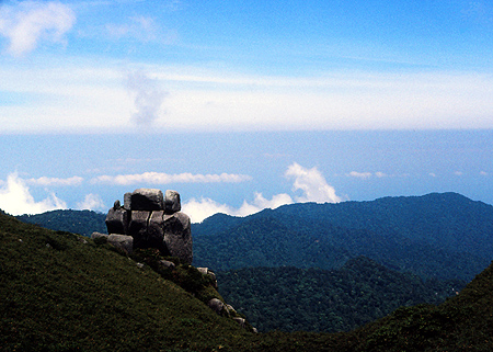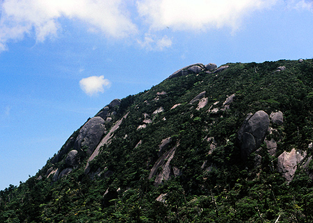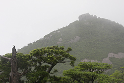
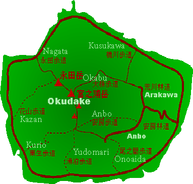
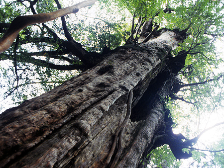
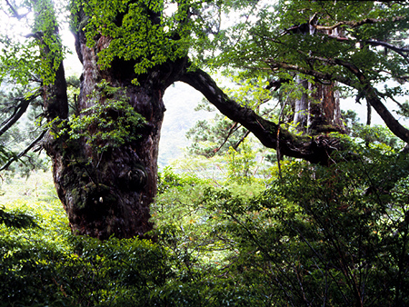
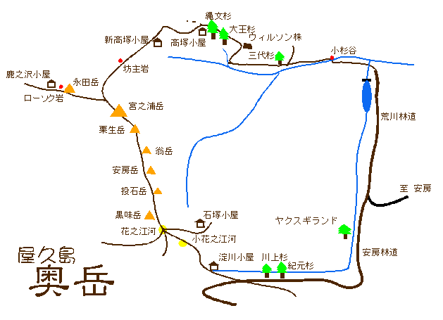
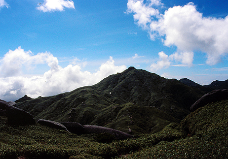
Sometimes, Yakushima is called as the alps on the ocean. Yakushima has a circular coastline and remarkable higher mountains located the central point of the island, which are over 1800 meters height. These mountains inner land is named Okudake That means hidden mountains. And several trials go up the Okudake area. The radially out trails are derived the tradition Okudake-mairi that each habit had own route climbing to the own peak of Okudake area. But recently these routes are very rare to use, Only two routes are selected for mountaineering purpose now.
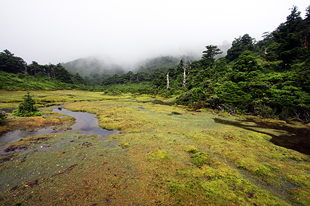
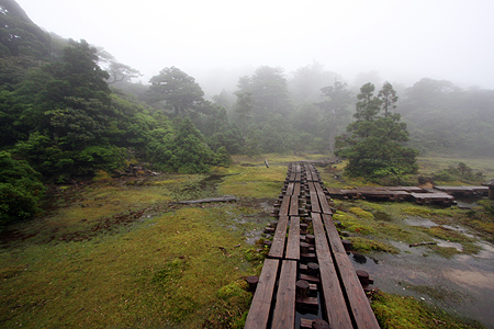
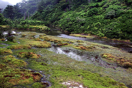
First route is Okabu-hodo course which starts at Arakawa-rindo (forest road) and leads the Mt.Miyanouradake which sits the northern tip of the higher mountains. Another is the upper part of the Onoaida-hodo, usually which called Yodogawa-goya route and begins at the side of Anbo-rindo. After passing through the Yodogawagoya hut, the Trail climbing up to the Hananoego marsh and then reaches the summit area.
Both trail head can be approached with the road that starts at anbo located east side of the island. Some scheduled bus services are operated in tourism season for each.
|
Could you know the gidebooks for the mountaineering of the island ? | |

|
Hiking in Japan, Lonely Planet Publications, 2001,396-402p. However it was out of print now. It must be prepared the newer edition.Lonely Planet Hiking in Japan by Richard Ryall will be released on 2009, although I cann't know that whether or not the book concerns about the Yakushima. Another guidebook is Hiking in Japan: An Adventurer's Guide to the Mountain Trails by Paul Hunt, published in 1988.It has the part for Yakushima on page 56 to 59. |
| Also you can buy them from the Amazon.co.jp. Hiking in Japan,2001 Newer edition Paul Hunt's Hiking in Japan | |
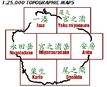 |
Most precise topographical maps are printed by a section of government Kokudo-chiri-in (Geographical survey Institute) with 1/25000 scale.
Yakushima island is covered with seven pices of prints. You should mind that you can buy these maps at only small number of bookstores almost in large cities.
It's better to buy before departing from Tokyo. Although,it may find out the book store in Kagoshima city that sells topographical maps. Now, online version of the map is provided as you have seen the map attached on my pages. Web:Geographical survey Institute (Price and Order System) A map sold by a commercial publisher Shobunsya is wonderful. It updates yearly and printed on a water resistant synthetic paper with the course times of the trails. However it has no english description. You can buy the map from Amazon.co.jp or many bookshops in Japan. Also you may find out it at the shop somewhere in the island. |
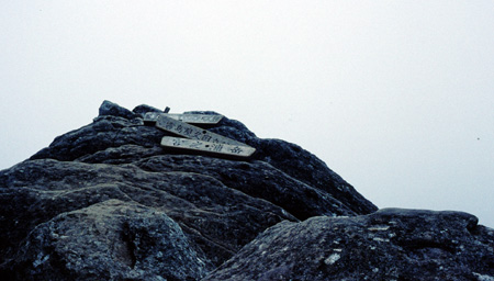
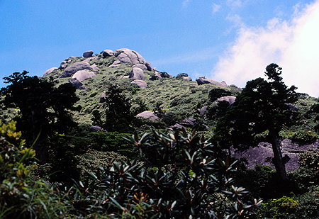
 Kuriodake 1867m
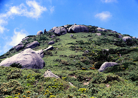
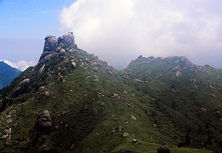 Okinadake 1860m