Miyanoura
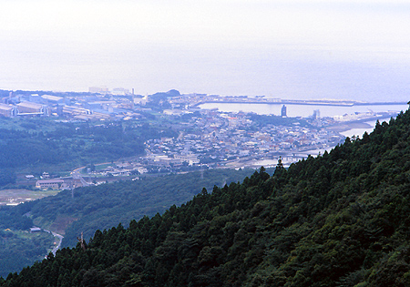
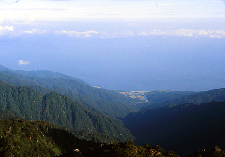
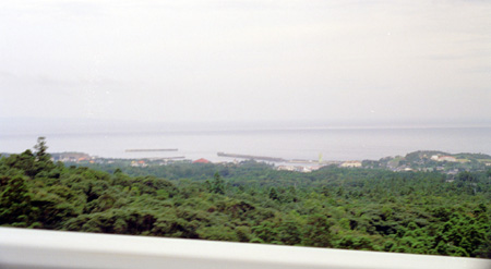
Miyanoura which viewed from the road to Shiratani Unsuikyo. Miyanoura port is constructed at the
west side of the Miyanouragawa. Behind the ditrict, a large factory is seen.
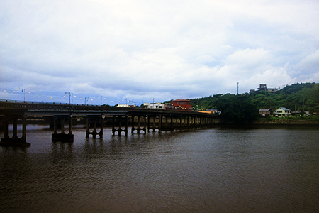
A bridge crosses over the river Miyanouragawa. This bridge has been there 80 years with putting the shadowon the quiet surface of Miyanouragawa. However, some parts are repaired for the wartime damages, It gives me the image of the old-time scenary which belongs to the village in the early Showa Era.
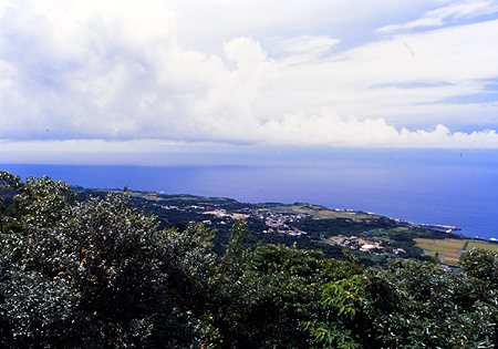
Miyanoura is the largest residential area of Yakushima which located north coastline. With close to the port which has a role to connect Kagoshima, Miyanoura is the entrance of the island and developed as the center of local administration. There are many facilities on the west riverside of the Miyanouragawa.
As soon as you foot on the pier, you can see a rare landscape for standing on a port of island. There is a large factory produced chemicals just behind the Miyanoura district, which has built half a century ago in the age of the Japan ecomony suported by the hevy industories. Yakushima had been estimated that it could develop with consumable electricity generated by waterpower. It may be a evidence of that Yakushima is a given island which has ability to live with own natural resources.
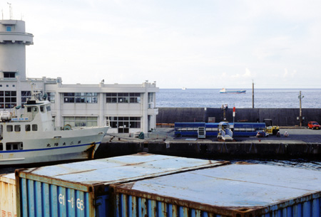
Port Miyanoura. A small ferry boat Taiyo has being anchored, which is operated by the town organization to connect Kuchinoerabu island.
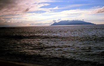
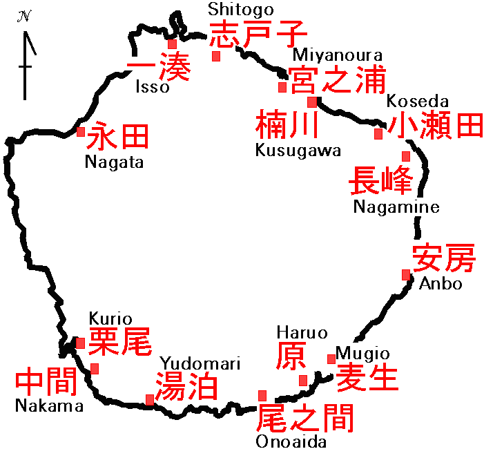
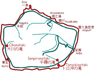
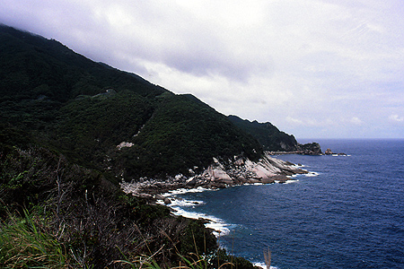
Kuchi no erabu zima is a island 15 km off shore from the coast of Nagata. Volcanic island.
River Nagata gawa which begins just under the rock sit on the Nagatadake. After collecting many streams, the river is thrown to the ocean at the east of Nagata.
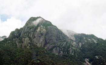
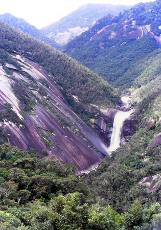
Mt Mocchomu-dake is a eye captured granite rock peak having 970 meters height which located sourth part of the island.
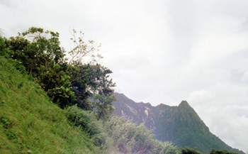
Mt Mocchomu-dake from the spa Onoaida onsen.
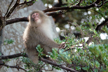
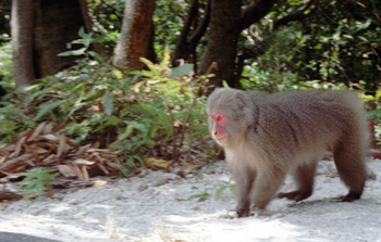
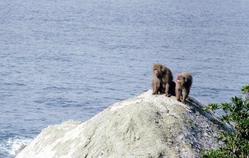
misc.
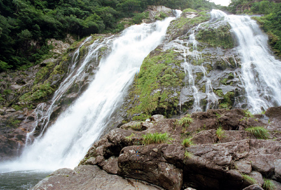
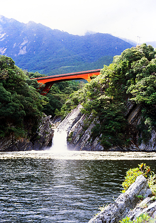
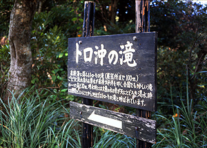
Kurio is the most distal habitat having a small fisherman's port, which located southwest in the island. Going to four kilo meters north from here, There is a popular sightseeing spot Oko no taki waterfall.
Another habitat Nakama located south east of Kurio is known with Gajumaru (banyan) trees which over the road.
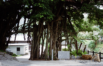
Gajumaru trees in Nakama.